

A Horizon2020 Project (EU Research & Innovation Program). Implementing effective environmental policies and risk management strategies requires a solid knowledge base and reliable forecasting capabilities based on observation data. As of now, such data in the Mediterranean remains highly fragmented and, in some regions—particularly the southern Mediterranean—significantly lacking. Accessibility is also a challenge, with multiple systems and incompatible platforms limiting the availability and usability of existing information.
The main goal of the project is to develop the platformMARINOMICA- a user-friendly, integrated platform that brings together observation and forecasting data from across the Mediterranean, covering both open waters and coastal areas. MARINOMICA will provide data services, information, and forecasts to all Mediterranean countries, through a single public portal. Data shall be tailored to a wide range of end users. The platform will draw data from numerous existing databases managed by agencies, public authorities, research institutions, and universities in EU and non-EU Mediterranean countries (including ESFRI, EMODNet, Goos, GEOSS, GBIF, Med-OBIS, AquaMaps, MAPAMED, Atlas and others ). It will serve as an overarching ‘umbrella’ platform, connecting existing systems and citizen science networks.
The consortium consists of 28 partners from 14 countries (Greece, Israel, Turkey, Italy, Spain, Portugal, the United Kingdom, the Netherlands, Germany, France, Tunisia, Morocco, Algeria, and Egypt). It includes academic institutions, technology companies, IT service providers from emerging markets, NGOs, policy experts and management partners .
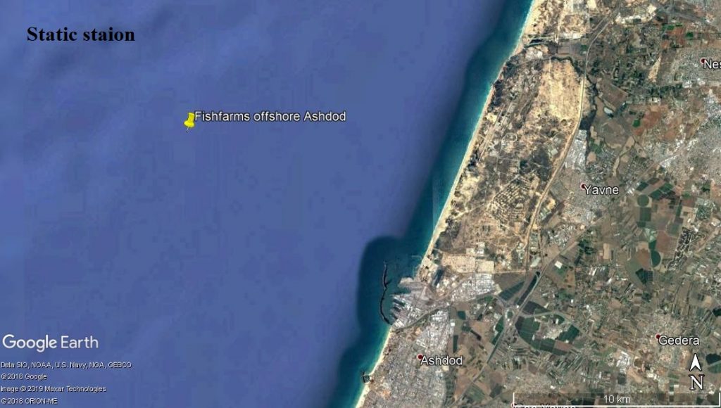
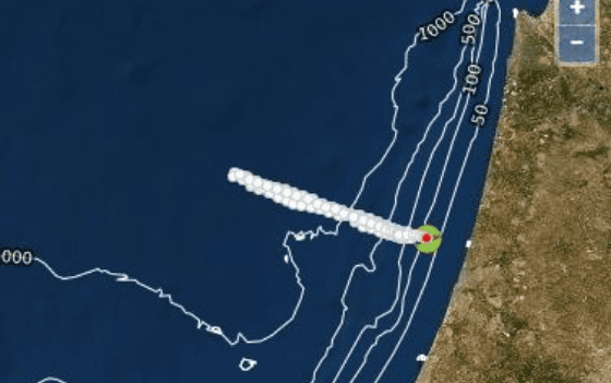
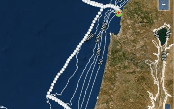
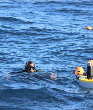
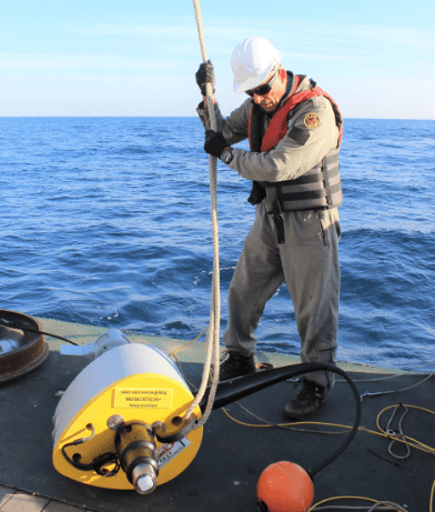
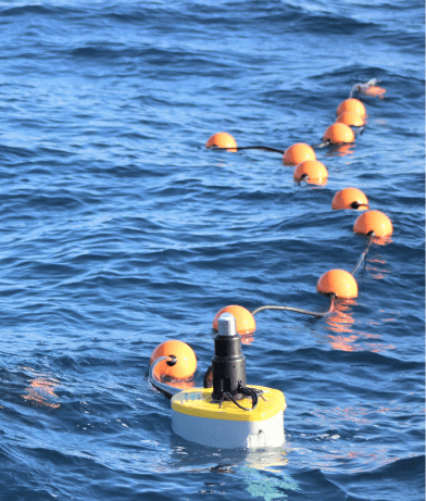
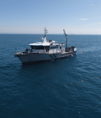
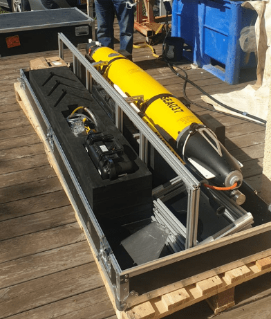
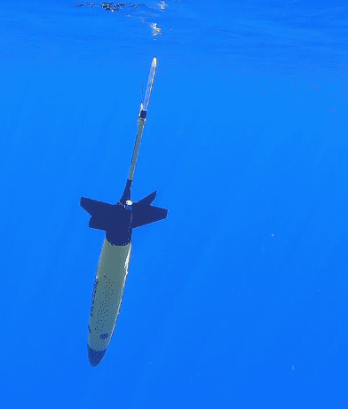
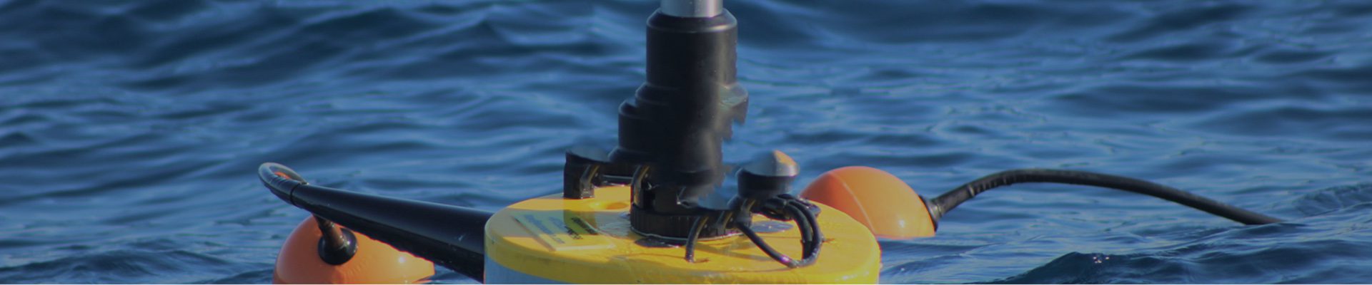
As part of the project, regional monitoring stations have been established to fill critical information gaps. Special focus is placed on areas experiencing heavy human traffic as well as those with significant ecological importance and sensitivity. EcoOcean operates Israel’s monitoring station, which includes a sensor buoy installed approximately 12 miles [unit to be confirmed] off the coast of Ashdod. In addition, with support from the Israel Oceanographic and Limnological Research (IOLR) Institute, we have deployed the Glider – an autonomous underwater vehicle equipped with multiple sensors. The sensor buoy measures a range of parameters, including temperature, salinity, dissolved oxygen, turbidity, chlorophyll levels, and even features an innovative sensor designed to count microplastic particles.
[cta_button]
The buoy is currently inactive – available data that can be downloaded includes:
Temperature, turbidity, chlorophyll, dissolved oxygen, and salinity from 01 January 2021 to 20 June 2022
Current data (ADCP)from 07 March 2022 to 20 June 2022